

Northern California National Forests on Fire
- Aug 10, 2015
- 3 min read

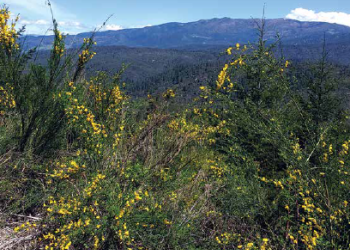
River Complex
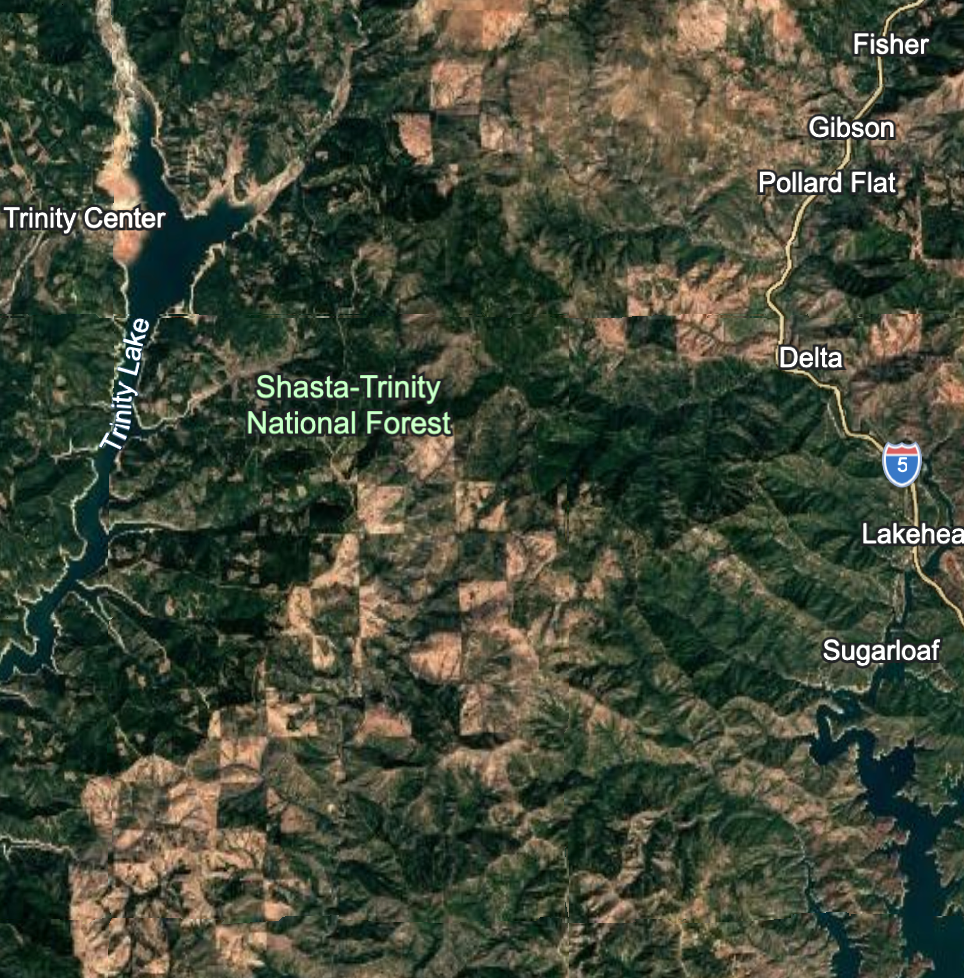
Last month’s storms in the North Coast resulted in hundreds of lightning strikes igniting forest fires across the region and throughout the Pacific Northwest. Now a combined total of approximately 102,755 acres are burning on the Shasta-Trinity and Six Rivers National Forests.
Shasta Trinity National Forest contains 7 fire complexes totaling 80,249 acres:
Route Complex 19,974 15% contained *Dozer lines & tree felling
South Complex 18,108 5% contained *19 Dozers
River Complex 18,235 12% contained *4 Dozers
Fork Complex 22,312 19% contained *54 Dozers
Shf Lightning 75
Saddle Fire 1,542
Hog Fire “Saddle Fire” 3
Six Rivers National Forest contains 3 complexes totaling 22,506 acres:
Mad River Complex 19,189 35% contained *6 bulldozers
Gasquet Complex 2,335 9% contained *Dozers & tree felling
Nickowitz Fire 982 17% contained

Hog Fire -Saddle Fire-dozer lines
Thousands of fire fighters are on the ground, some in an effort to protect life and property and others are in the wilderness and backcountry. Fire suppression and the military style of firefighting can be more environmentally destructive than wildfire itself. Crews typically construct ridge top fire lines with bulldozers, dump fire retardant, ignite high severity back burns, fell trees and open up decommissioned roads to access and suppress the fires. These damaging efforts are often ineffective, for example yesterday a burning tree fell across a containment line on the Route complex, causing the fire to escape.

Route Complex
Techniques such as back burning purposefully result in high intensity fire consuming all of the vegetation in its path. Fire retardant can be toxic to fish, especially when it is applied into creeks and streams. Snags are felled throughout sensitive areas. The Six Rivers allowed an untold amount of chainsaw work to cut snags in the Siskiyou Wilderness in the Peak Fire. Perhaps the most destructive activity is the construction of often-ineffective firelines creating miles of ridge tops that are plowed to bare earth. In the Fork Complex alone, there are multi-agency crews operating 54 bulldozers.
Fire has shaped the region for millennia; it is a natural force that keeps our forests healthy by cleaning out the understory and opening the forest floor. Wildfires are most commonly started by lightning, which strikes on ridge tops, then creeps down the mountain side, most often over 85 percent of forest fires burn at low and moderate severity, and less than 15% burns at high severity. In this scenario, most of the largest trees are left alive and the smaller understory is cleaned out, allowing the larger trees more light and nutrients to grow.

Dozer Line on Castle fire in South Complex
Once the smoke clears, many of these burned forests will be considered for post-fire “salvage logging” timber sales, as we are experiencing on the Klamath National Forest in the Westside project, which is slated for a decision in early September. Post-fire operations usually propose to remove the largest (most profitable) trees, which are the most valuable to wildlife, soil stability, soil structure and carbon storage. Salvage logging on steep slopes leaves the sensitive landscape susceptible to landslides and erosion, removes important habitat and damages natural growth and recovery.
In order to allow our forests to undergo natural processes, fire suppression should focus around homes and communities by creating a defensible “fire safe” area. Landscape level fire strategies that include shaded fuel breaks and the widespread use of cultural and prescribed burning should be and are becoming a priority for national forest managers, tribes and rural communities.
Below are some maps of the fires as of August 10, 2015:
*Photos and maps and data courtesy of inciweb.nwcg.gov

Comments